Mean State

Download Data
Period Mean (original grids) [Pg]
Model Period Mean (intersection) [Pg]
Benchmark Period Mean (intersection) [Pg]
Model Period Mean (complement) [Pg]
Benchmark Period Mean (complement) [Pg]
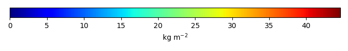
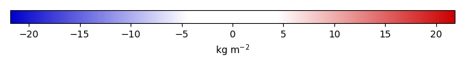
Bias [kg m-2]
Bias Score [1]
Spatial Distribution Score [1]
Overall Score [1]
Benchmark [-] 1.33e+03
E3SM [-] 2.35e+03 2.15e+03 1.32e+03 148. 9.84 5.83 0.504 0.595 0.550
E3SM-FUN2.0 [-] 2.09e+03 1.92e+03 1.32e+03 126. 9.84 4.21 0.538 0.631 0.585
E3SM-FUN3.0 [-] 1.47e+03 1.35e+03 1.32e+03 88.6 9.84 0.184 0.597 0.765 0.681

Temporally integrated period mean

BENCHMARK MEAN
Data not available
Data not available
MODEL MEAN
Data not available
Data not available
BIAS
Data not available
Data not available
BIAS SCORE
Data not available
Data not available

SPATIAL TAYLOR DIAGRAM
Data not available
MODEL COLORS
Data not available

Spatially integrated regional mean

MODEL COLORS
Data not available

Relationships

Download Data
Precipitation|GPCPv2.3 Hellinger Distance [1]
SurfaceDownwardSWRadiation|CERESed4.1 Hellinger Distance [1]
SurfaceAirTemperature|CRU4.02 Hellinger Distance [1]
Precipitation|GPCPv2.3 Score [1]
SurfaceDownwardSWRadiation|CERESed4.1 Score [1]
SurfaceAirTemperature|CRU4.02 Score [1]
Overall Score [1]
E3SM [-] 0.486 0.433 0.532 0.415 0.587 0.574 0.525
E3SM-FUN2.0 [-] 0.511 0.461 0.552 0.549 0.641 0.638 0.609
E3SM-FUN3.0 [-] 0.524 0.493 0.589 0.824 0.655 0.774 0.751

Precipitation/GPCPv2.3

Data not available
Data not available
Data not available

SurfaceDownwardSWRadiation/CERESed4.1

Data not available
Data not available
Data not available

SurfaceAirTemperature/CRU4.02

Data not available
Data not available
Data not available

All Models

Benchmark
Data not available
Data not available
E3SM
Data not available
Data not available
E3SM-FUN2.0
Data not available
Data not available
E3SM-FUN3.0
Data not available
Data not available

Data Information

  History:
Tue Mar 19 20:15:17 2019: ncrename -v soilc,cSoilAbove1m soilc_0.5x0.5.nc tmp.nc

  Approach:
I just read the data from the original data file and flip the latitude arrange from original 90N->90S to 90S->90N.

  Temporal resolution:
yearly

  General information:
This product was derived from Harmonized World Soil Database (HWSD) v1.2 dataset.

  Spatial resolution:
0.5x0.5 degree

  Derived data code:
http://redwood.ess.uci.edu/mingquan/www/ILAMB/Download/CODES/CODES/subroutines/convert/convert-soilc-HWSD.ncl