Mean State

Download Data
Period Mean (original grids) [Pg]
Model Period Mean (intersection) [Pg]
Benchmark Period Mean (intersection) [Pg]
Model Period Mean (complement) [Pg]
Benchmark Period Mean (complement) [Pg]
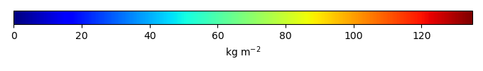
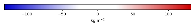
Bias [kg m-2]
Bias Score [1]
Spatial Distribution Score [1]
Overall Score [1]
Benchmark [-] 1.33e+03
4597_2026-03-05_uncalib [-] 3.13e+03 1.05e+03 81.5 2.08e+03 1.25e+03 120. 0.0437 0.692 0.368
4598_2026-03-05_latest [-] 3.13e+03 1.06e+03 82.4 2.07e+03 1.25e+03 120. 0.0402 0.709 0.375
ENSEMBLE-CMIP6 [-] 1.46e+03 1.31e+03 1.33e+03 133. -0.163 0.654 0.431 0.542

Temporally integrated period mean

BENCHMARK MEAN
Data not available
Data not available
MODEL MEAN
Data not available
Data not available
BIAS
Data not available
Data not available
BIAS SCORE
Data not available
Data not available

SPATIAL TAYLOR DIAGRAM
Data not available
MODEL COLORS
Data not available

Spatially integrated regional mean

MODEL COLORS
Data not available

All Models

Benchmark
Data not available
Data not available
4597_2026-03-05_uncalib
Data not available
Data not available
4598_2026-03-05_latest
Data not available
Data not available
ENSEMBLE-CMIP6
Data not available
Data not available

Data Information

  History:
Tue Mar 19 20:15:17 2019: ncrename -v soilc,cSoilAbove1m soilc_0.5x0.5.nc tmp.nc

  Approach:
I just read the data from the original data file and flip the latitude arrange from original 90N->90S to 90S->90N.

  Temporal resolution:
yearly

  General information:
This product was derived from Harmonized World Soil Database (HWSD) v1.2 dataset.

  Spatial resolution:
0.5x0.5 degree

  Derived data code:
http://redwood.ess.uci.edu/mingquan/www/ILAMB/Download/CODES/CODES/subroutines/convert/convert-soilc-HWSD.ncl